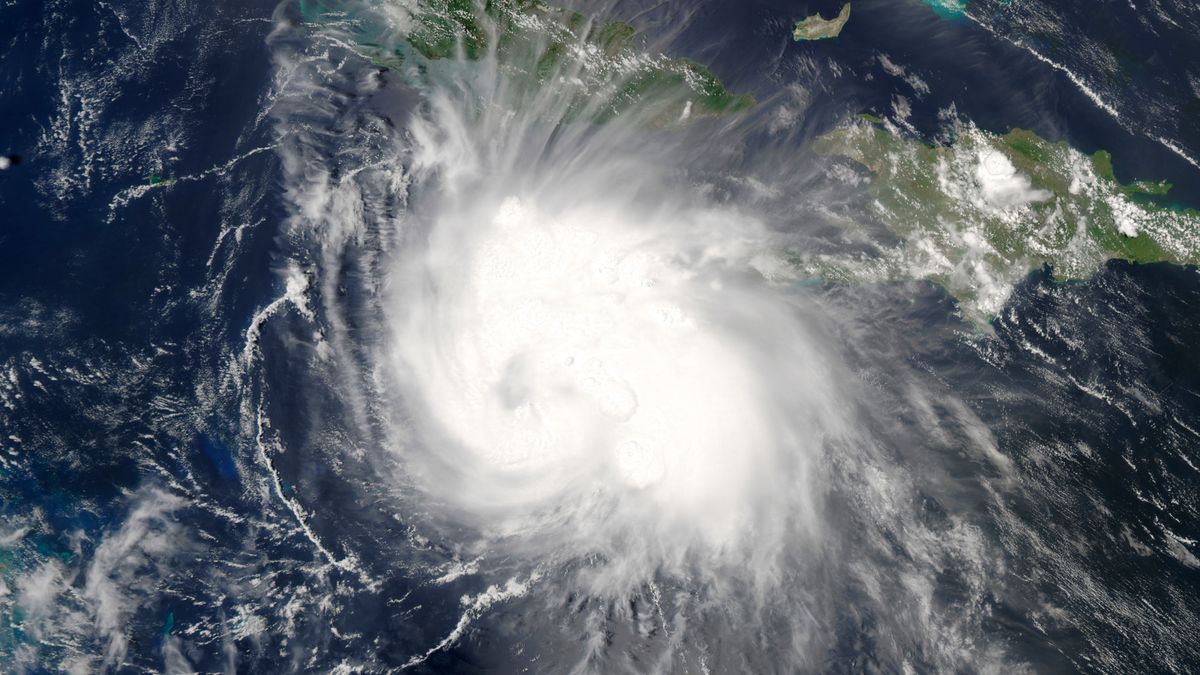
Hurricane Charley began as a tropical storm in the Atlantic Ocean, growing into a Category 4 hurricane with maximum sustained winds of 241 km/h (150 mph). The storm’s trajectory took it through the Caribbean and into the Gulf of Mexico, where it ultimately made landfall on Captiva Island near Cayo Costa, Florida. Charley then struck Punta Gorda, Florida, an hour later, leaving a path of destruction in its wake.
Although Tampa Bay was fortunate to avoid the full force of Charley’s power, the storm still caused significant damage to the Florida Peninsula and surrounding areas. The high winds and heavy rain associated with Charley extended hundreds of miles from the center, causing extensive damage to infrastructure, property, and the environment.
Formation and Strengthening
Charley formed on August 9, 2004, and quickly developed into a Category 4 hurricane with peak intensity winds of 150 mph (240 km/h). This rapid intensification made it difficult for meteorologists to predict the storm’s path and potential impact on the communities in its path.
The storm’s strength and rapid development caught many off guard, emphasizing the need for vigilant monitoring and preparedness during hurricane season, especially when a hurricane warning is issued.
Tampa Bay and Florida Peninsula
Despite the overall devastation caused by Hurricane Charley, the Tampa Bay area, located on the west coast, was spared the worst of the storm’s impact. This was due in part to the storm’s relatively small size and the fact that it veered eastward just before making landfall. Nevertheless, the region still experienced significant winds, storm surge, and precipitation.
One of the most notable impacts of Hurricane Charley on the Florida Peninsula was the storm surge it produced, which extended up to Tampa Bay, around 500 miles from the point of landfall. This surge caused widespread flooding and coastal erosion, illustrating the far-reaching effects of hurricanes even for areas not directly in the storm’s path. Additionally, a wind gust of 147 mph was reported in Wauchula, highlighting the potential for severe wind damage across the region.
Charley’s Landfall and Aftermath
When Charley made landfall in Florida on August 13, 2004, it left a path of destruction that spanned 20 miles wide, often referred to as a “20-mile-wide tornado”. The storm moved in a north-northeast direction across the Florida peninsula, re-entering the Atlantic before making a second landfall on the Carolina coast. As Charley continued its destructive path, it spawned tornadoes, high-velocity winds, and flooding.
The aftermath of Hurricane Charley was devastating. Nine people were reported dead in Florida, and it caused nearly $17 billion in damage. The diameter of Charley’s eyewall had decreased to 9.6 km (6 mi) wide, which helped confine the most extreme damage to a 16 kilometer-wide (10 mi) area. This relatively small area of catastrophic damage underscores the importance of monitoring and preparing for hurricanes, as even a minor shift in a storm’s path can have significant consequences for nearby communities.